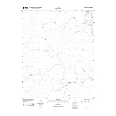
2011 Map of White Hills
USGS Topo · Published 2011About this map
Santa Clara and the surrounding drainage basins define this landscape at the edge of the Mojave and Great Basin regions. In the southern portion of the quadrangle, the Virgin River flows through the First Narrows and Big Round Valley, where the terrain transitions from high desert plateaus to complex canyon systems. The map captures the convergence of several major washes, including Halfway Wash and Cove Wash, which feed into the perennial rivers. Historically significant grazing and seasonal sites are noted, such as Blakes Lambing Grounds and Cottonwood Spring, indicating the long-standing agricultural and ranching use of this arid environment. To the east, the settlement of Atkinville sits near the confluence of the Atkinville Wash, while prominent topographical landmarks like Starvation Point and the White Hills dominate the central horizon. The presence of Lava Flow Dr in the north suggests the unique volcanic geology that characterizes the outskirts of the St. George area.
Find a feature on this map
29 named features on this map. Tap any name to fly to it.
Don’t see what you’re looking for? This feature index may not catch every label — zoom into the map to look around manually.
Map Details
Editions of this 2011 White Hills Map
This is the sole edition of this map. No revisions or reprints were ever made.
Other maps of this area

1885 · St. George
USGS Topo · 1:250,000

1886 · Mt. Trumbull
USGS Topo · 1:250,000

1891 · St. George
USGS Topo · 1:250,000

1892 · Mt. Trumbull
USGS Topo · 1:250,000

1953 · Cedar City
USGS Topo · 1:250,000

1953 · Grand Canyon
USGS Topo · 1:250,000

1954 · Beaver Dam Mts NE
USGS Topo · 1:24,000

1954 · Wolf Hole Mtn. NW
USGS Topo · 1:24,000

1954 · Beaver Dam Mts SE
USGS Topo · 1:24,000

1954 · Wolf Hole Mtn. NE
USGS Topo · 1:24,000