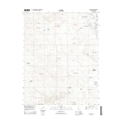
2014 Map of White Hills
USGS Topo · Published 2014About this map
The Virgin River and Santa Clara River converge in this arid corridor of Washington County, documenting the landscape just south of Santa Clara and St. George in the mid-2010s. The map illustrates a transition from suburban residential developments like Malaga Ave and S Village Rd to the open terrain of the Mojave Desert. The topography is defined by significant washes and ridges, including Box Canyon and the South Hills. Local land use is reflected in features like the Curley Hollow Reservoir and the uniquely named Blakes Lambing Grounds. The southern portion of the sheet remains largely undeveloped, characterized by the First Narrows and the prominent overlook at Starvation Point, providing a clear view of the natural drainage patterns that have shaped this portion of the White Hills.
Find a feature on this map
51 named features on this map. Tap any name to fly to it.
Don’t see what you’re looking for? This feature index may not catch every label — zoom into the map to look around manually.
Map Details
Editions of this 2014 White Hills Map
This is the sole edition of this map. No revisions or reprints were ever made.
Other maps of this area

1885 · St. George
USGS Topo · 1:250,000

1886 · Mt. Trumbull
USGS Topo · 1:250,000

1891 · St. George
USGS Topo · 1:250,000

1892 · Mt. Trumbull
USGS Topo · 1:250,000

1953 · Cedar City
USGS Topo · 1:250,000

1953 · Grand Canyon
USGS Topo · 1:250,000

1954 · Beaver Dam Mts NE
USGS Topo · 1:24,000

1954 · Wolf Hole Mtn. NW
USGS Topo · 1:24,000

1954 · Beaver Dam Mts SE
USGS Topo · 1:24,000

1954 · Wolf Hole Mtn. NE
USGS Topo · 1:24,000