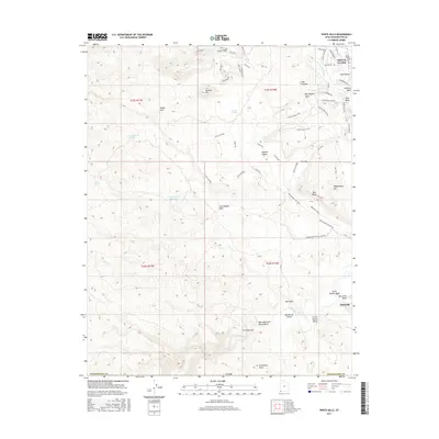
2017 Map of White Hills
USGS Topo · Published 2017About this map
Santa Clara occupies the northeastern corner of this landscape, where the Santa Clara River flows toward its confluence with the Virgin River further south. The terrain is defined by dramatic elevation changes, moving from the low-lying Big Round Valley and Little Round Valley to the prominent heights of the White Hills and Boomer Hill. Water management in this arid environment is evident through features like the Curley Hollow Reservoir and several mapped desert sources such as Stucki Springs and Cave Spring.
Find a feature on this map
61 named features on this map. Tap any name to fly to it.
Don’t see what you’re looking for? This feature index may not catch every label — zoom into the map to look around manually.
Map Details
Editions of this 2017 White Hills Map
This is the sole edition of this map. No revisions or reprints were ever made.
Other maps of this area

1885 · St. George
USGS Topo · 1:250,000

1886 · Mt. Trumbull
USGS Topo · 1:250,000

1891 · St. George
USGS Topo · 1:250,000

1892 · Mt. Trumbull
USGS Topo · 1:250,000

1953 · Cedar City
USGS Topo · 1:250,000

1953 · Grand Canyon
USGS Topo · 1:250,000

1954 · Beaver Dam Mts NE
USGS Topo · 1:24,000

1954 · Wolf Hole Mtn. NW
USGS Topo · 1:24,000

1954 · Beaver Dam Mts SE
USGS Topo · 1:24,000

1954 · Wolf Hole Mtn. NE
USGS Topo · 1:24,000