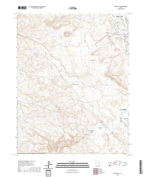
2023 Map of White Hills
USGS Topo · Published 2023About this map
Santa Clara and the western edge of St. George anchor this modern survey of Washington County, illustrating the intersection of suburban expansion and a desert landscape. The presence of the Santa Clara Saint-George Canal and several springs, including Stucki Spring and Cottonwood Spring, underscores the critical importance of water management in this arid region. The southern portion of the map is dominated by the Beaver Dam Mountains Wilderness, where the Virgin River cuts through the terrain near Starvation Point. A dense network of recreation paths, such as the Bearclaw Poppy Trl and Zen Trl, reflects the contemporary transition of these hills from ranching and mining uses to active leisure and residential growth. Notable landmarks like Red Bluff and Bloomington Hill provide topographic markers between the valley floor and the high desert plateaus.
Find a feature on this map
52 named features on this map. Tap any name to fly to it.
Don’t see what you’re looking for? This feature index may not catch every label — zoom into the map to look around manually.
Map Details
Editions of this 2023 White Hills Map
This is the sole edition of this map. No revisions or reprints were ever made.
Other maps of this area

1885 · St. George
USGS Topo · 1:250,000

1886 · Mt. Trumbull
USGS Topo · 1:250,000

1891 · St. George
USGS Topo · 1:250,000

1892 · Mt. Trumbull
USGS Topo · 1:250,000

1953 · Cedar City
USGS Topo · 1:250,000

1953 · Grand Canyon
USGS Topo · 1:250,000

1954 · Beaver Dam Mts NE
USGS Topo · 1:24,000

1954 · Wolf Hole Mtn. NW
USGS Topo · 1:24,000

1954 · Beaver Dam Mts SE
USGS Topo · 1:24,000

1954 · Wolf Hole Mtn. NE
USGS Topo · 1:24,000