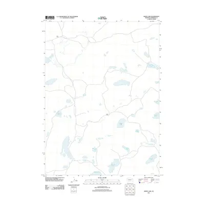
2011 Map of White Lake
USGS Topo · Published 2011About this map
White Lake and a series of scattered seasonal basins characterize this section of Sheridan County, recorded during a 2011 survey by the U.S. Geological Survey. The landscape is dominated by ranching interests, with the Star Ranch and Wilson Ranch serving as the primary named hubs of activity in this northern Sandhills region. The map reveals an intricate network of localized hydrology where named water bodies like Jennings Lake, Carnes Lake, and Roethler Lake punctuate the arid terrain. Other notable features include Van Loon Lake, Taylor Lake, and Sandow Lake, which illustrate the geographic reliance on these basins for livestock and local ecology. This sheet provides a detailed look at the rural property boundaries and remote access roads that define life in one of Nebraska's more sparsely populated ranching corridors.
Find a feature on this map
14 named features on this map. Tap any name to fly to it.
Don’t see what you’re looking for? This feature index may not catch every label — zoom into the map to look around manually.
Map Details
Editions of this 2011 White Lake Map
This is the sole edition of this map. No revisions or reprints were ever made.
Other maps of this area

1948 · Bingham
USGS Topo · 1:62,500

1948 · Lakeside
USGS Topo · 1:62,500

1948 · Twin Lakes
USGS Topo · 1:62,500

1948 · Spade Ranch
USGS Topo · 1:62,500

1950 · Twin Lakes
USGS Topo · 1:62,500

1950 · Spade Ranch
USGS Topo · 1:62,500

1950 · Lakeside
USGS Topo · 1:62,500

1950 · Bingham
USGS Topo · 1:62,500

1955 · Alliance
USGS Topo · 1:250,000

1957 · Alliance
USGS Topo · 1:250,000