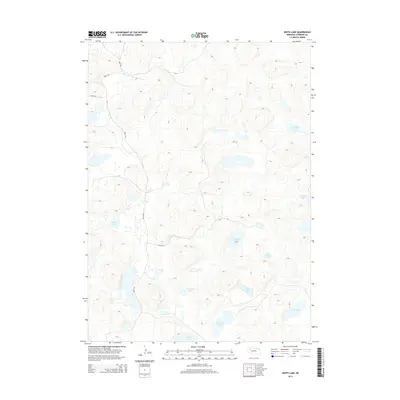
2014 Map of White Lake
USGS Topo · Published 2014About this map
White Lake and a series of smaller alkali lakes and ponds characterize this remote portion of Sheridan County, Nebraska, as it appeared in the early 21st century. The landscape is defined by the unique hydrology of the Sandhills, where numerous shallow basins are named for local families and settlers, such as O Brien Lake, Van Loon Lake, and Jennings Lake. These water bodies are connected only by a sparse network of unpaved tracks, including 304th Trl and 213th Trl, which navigate the undulating dune topography.
Find a feature on this map
15 named features on this map. Tap any name to fly to it.
Don’t see what you’re looking for? This feature index may not catch every label — zoom into the map to look around manually.
Map Details
Editions of this 2014 White Lake Map
This is the sole edition of this map. No revisions or reprints were ever made.
Other maps of this area

1948 · Bingham
USGS Topo · 1:62,500

1948 · Lakeside
USGS Topo · 1:62,500

1948 · Twin Lakes
USGS Topo · 1:62,500

1948 · Spade Ranch
USGS Topo · 1:62,500

1950 · Twin Lakes
USGS Topo · 1:62,500

1950 · Spade Ranch
USGS Topo · 1:62,500

1950 · Lakeside
USGS Topo · 1:62,500

1950 · Bingham
USGS Topo · 1:62,500

1955 · Alliance
USGS Topo · 1:250,000

1957 · Alliance
USGS Topo · 1:250,000