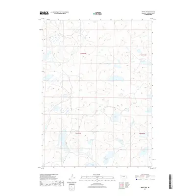
2017 Map of White Lake
USGS Topo · Published 2017About this map
White Lake and a series of smaller alkali lakes characterize this corner of the Nebraska Sandhills in the early twenty-first century. The landscape is defined by the Public Land Survey System grid, which divides the terrain into sections within t26n r43w, t26n r42w, and the neighboring townships. The hydrologic network is the dominant feature here, with numerous named basins such as Van Loon Lake, Jennings Lake, and Taylor Lake distributed across the depressions between high dunes. Transportation is limited to primitive routes like 304 Trl and 213 Trl, which navigate the elevation changes to connect remote ranching interests. This 2017 survey reflects a largely undeveloped region where the survival of cattle ranching depends on these seasonal and permanent water bodies like Sandow Lake and Patton Lake.
Find a feature on this map
17 named features on this map. Tap any name to fly to it.
Don’t see what you’re looking for? This feature index may not catch every label — zoom into the map to look around manually.
Map Details
Editions of this 2017 White Lake Map
This is the sole edition of this map. No revisions or reprints were ever made.
Other maps of this area

1948 · Bingham
USGS Topo · 1:62,500

1948 · Lakeside
USGS Topo · 1:62,500

1948 · Twin Lakes
USGS Topo · 1:62,500

1948 · Spade Ranch
USGS Topo · 1:62,500

1950 · Twin Lakes
USGS Topo · 1:62,500

1950 · Spade Ranch
USGS Topo · 1:62,500

1950 · Lakeside
USGS Topo · 1:62,500

1950 · Bingham
USGS Topo · 1:62,500

1955 · Alliance
USGS Topo · 1:250,000

1957 · Alliance
USGS Topo · 1:250,000