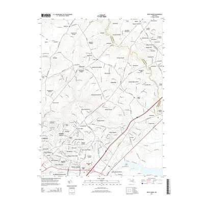
2014 Map of White Marsh
USGS Topo · Published 2014About this map
Gunpowder Falls and Little Gunpowder Falls carve through the landscape of the Baltimore and Harford county line, anchoring a region of suburban estates and small historic centers. The map highlights the preservation of local history through landmarks like the Jericho Covered Bridge and the Jerusalem Mills complex near the settlement of Jerusalem. Settlement patterns show a high density of residential developments such as Mount Vista Estates, Kingswood, and Woodlyn Meadows, which are interspersed with older rural features like Fork Cem and the Albrecht Airstrip. Transportation is defined by the winding course of Harford Rd and Long Green Pike, which connect various manor-style developments and agricultural pockets. The area is characterized by its transition from the densely packed communities of Perry Hall Manor in the south to more open, wooded terrain in the north near Baldwin.
Find a feature on this map
273 named features on this map. Tap any name to fly to it.
Don’t see what you’re looking for? This feature index may not catch every label — zoom into the map to look around manually.
Map Details
Editions of this 2014 White Marsh Map
This is the sole edition of this map. No revisions or reprints were ever made.
Other maps of this area

1893 · Gunpowder
USGS Topo · 1:62,500

1894 · Baltimore
USGS Topo · 1:62,500

1898 · Tolchester
USGS Topo · 1:125,000

1899 · Baltimore
USGS Topo · 1:62,500

1900 · Parkton
USGS Topo · 1:62,500

1901 · Belair
USGS Topo · 1:62,500

1901 · Gunpowder
USGS Topo · 1:62,500

1902 · Parkton
USGS Topo · 1:62,500

1903 · Tolchester
USGS Topo · 1:125,000

1904 · Baltimore
USGS Topo · 1:62,500