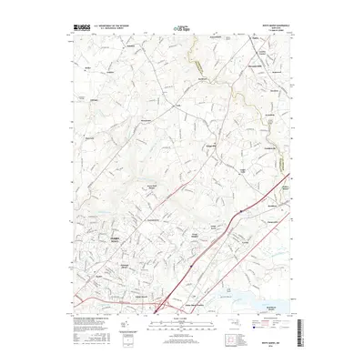
2016 Map of White Marsh
USGS Topo · Published 2016About this map
The suburban expansion and preserved landscapes of northeastern Baltimore County are visible on this 2016 survey, where the established community of Perry Hall meets the growing retail and transit hubs of White Marsh. The landscape is defined by the significant waterways of Gunpowder Falls and Little Gunpowder Falls, which carve through the terrain as they flow toward the Bird River. These river valleys historically separated the settlements of Kingsville and Jerusalem from the more densely developed corridors to the southwest.
Find a feature on this map
246 named features on this map. Tap any name to fly to it.
Don’t see what you’re looking for? This feature index may not catch every label — zoom into the map to look around manually.
Map Details
Editions of this 2016 White Marsh Map
This is the sole edition of this map. No revisions or reprints were ever made.
Other maps of this area

1893 · Gunpowder
USGS Topo · 1:62,500

1894 · Baltimore
USGS Topo · 1:62,500

1898 · Tolchester
USGS Topo · 1:125,000

1899 · Baltimore
USGS Topo · 1:62,500

1900 · Parkton
USGS Topo · 1:62,500

1901 · Belair
USGS Topo · 1:62,500

1901 · Gunpowder
USGS Topo · 1:62,500

1902 · Parkton
USGS Topo · 1:62,500

1903 · Tolchester
USGS Topo · 1:125,000
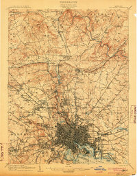
1904 · Baltimore
USGS Topo · 1:62,500