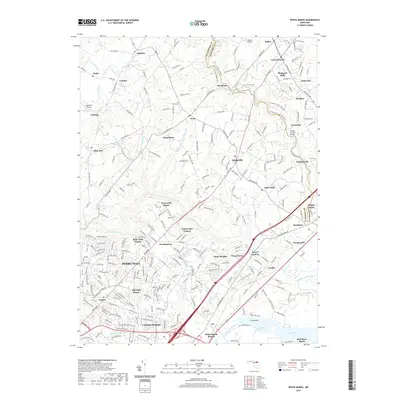
2019 Map of White Marsh
USGS Topo · Published 2019About this map
Little Gunpowder Falls and Gunpowder Falls define the drainage and recreational landscape of this portion of Baltimore and Harford Counties. The historic Jericho Covered Bridge spans the Little Gunpowder near the community of Jerusalem, where the map shows the transition from rolling wooded parkland at Gunpowder Falls State Park to the increasingly dense residential development of Perry Hall.
Find a feature on this map
248 named features on this map. Tap any name to fly to it.
Don’t see what you’re looking for? This feature index may not catch every label — zoom into the map to look around manually.
Map Details
Editions of this 2019 White Marsh Map
This is the sole edition of this map. No revisions or reprints were ever made.
Other maps of this area

1893 · Gunpowder
USGS Topo · 1:62,500

1894 · Baltimore
USGS Topo · 1:62,500

1898 · Tolchester
USGS Topo · 1:125,000

1899 · Baltimore
USGS Topo · 1:62,500

1900 · Parkton
USGS Topo · 1:62,500

1901 · Belair
USGS Topo · 1:62,500

1901 · Gunpowder
USGS Topo · 1:62,500

1902 · Parkton
USGS Topo · 1:62,500

1903 · Tolchester
USGS Topo · 1:125,000

1904 · Baltimore
USGS Topo · 1:62,500