2023 Map of White Marsh
USGS Topo · Published 2023About this map
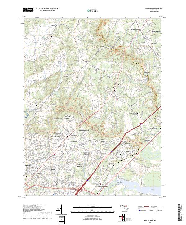
White Marsh and its surrounding suburban communities sit at the junction of modern infrastructure and long-standing religious history. The map detail highlights an extensive network of community landmarks, particularly clustered around Kingsville and Fork, where numerous historic church grounds and cemeteries like Saint Johns Episcopal Church Cem and Fork Christian Church Cem are preserved. These sites, along with the Perry Hall United Methodist Church Memorial Gardens, provide critical waypoints for genealogists and local historians tracing families in the Baltimore County and Harford County borderlands.
Find a feature on this map
232 named features on this map. Tap any name to fly to it.
Don’t see what you’re looking for? This feature index may not catch every label — zoom into the map to look around manually.
Map Details
Editions of this 2023 White Marsh Map
This is the sole edition of this map. No revisions or reprints were ever made.
Historical Maps of Kingsville Through Time
3 maps found

