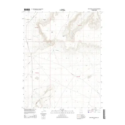
2014 Map of White Mesa Village SE
USGS Topo · Published 2014About this map
White Mesa dominates the central landscape of this high desert region, a prominent plateau flanked by the White Mesa Valley to the north and Lone Mountain Canyon to the east. The terrain is defined by its drainage systems, most notably the seasonal courses of Salt Water Cr and Lone Mountain Cr. This 2014 survey captures a network of rural routes and regional roads, such as Cortez Rd and Red Mesa Rd, that navigate the complex topography. To the south, Red Mesa rises near a series of local thoroughfares including Red Mesa Loop, Browns Rd, and Dees Rd. The map illustrates the sparsely populated but well-connected character of the Shiprock Agency lands, where road names like Potato Rock Rd and Tsitah Creek Rd hint at the distinct geological and cultural landmarks of this corner of San Juan County.
Find a feature on this map
26 named features on this map. Tap any name to fly to it.
Don’t see what you’re looking for? This feature index may not catch every label — zoom into the map to look around manually.
Map Details
Editions of this 2014 White Mesa Village SE Map
This is the sole edition of this map. No revisions or reprints were ever made.
Other maps of this area

1886 · Abajo
USGS Topo · 1:250,000

1892 · Abajo
USGS Topo · 1:250,000

1892 · Canyon De Chelly
USGS Topo · 1:250,000

1893 · Abajo
USGS Topo · 1:250,000

1953 · Dinne Mesa NW
USGS Topo · 1:24,000

1953 · Pastora Peak NW
USGS Topo · 1:24,000

1953 · Dinne Mesa NE
USGS Topo · 1:24,000

1953 · Pastora Peak
USGS Topo · 1:62,500

1953 · Toh-Atin Mesa
USGS Topo · 1:62,500

1954 · Shiprock
USGS Topo · 1:250,000