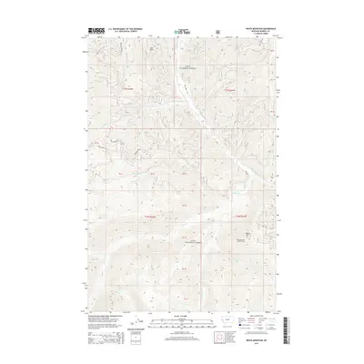
2014 Map of White Mountain
USGS Topo · Published 2014About this map
Lolo National Forest encompasses the entirety of this Mineral County landscape, where the high ridges of the Northern Rockies are punctuated by fire lookout infrastructure. The summit of White Mtn serves as a primary geographic anchor, topped by the White Mountain Lookout Tower, which overlooks a complex drainage network. The terrain is defined by its water systems, including the headwaters of the S Fork Fish Cr and the deeply carved valleys of Thompson Creek and Cache Creek.
Find a feature on this map
25 named features on this map. Tap any name to fly to it.
Don’t see what you’re looking for? This feature index may not catch every label — zoom into the map to look around manually.
Map Details
Editions of this 2014 White Mountain Map
This is the sole edition of this map. No revisions or reprints were ever made.
Other maps of this area

1911 · Lolo
USGS Topo · 1:250,000

1913 · Lolo
USGS Topo · 1:250,000

1956 · Hamilton
USGS Topo · 1:250,000

1959 · Hamilton
USGS Topo · 1:250,000

1960 · Hamilton
USGS Topo · 1:250,000

1960 · Straight Peak
USGS Topo · 1:62,500

1964 · Hamilton
USGS Topo · 1:250,000

1964 · Lolo Hot Springs
USGS Topo · 1:24,000
1964 · Williams Peak
USGS Topo · 1:24,000
1964 · Deer Peak
USGS Topo · 1:24,000