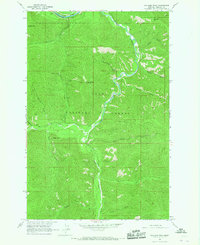
1964 Map of Williams Peak
USGS Topo · Published 1967About this map
Fish Creek serves as the central drainage for this section of the Lolo National Forest, winding through a landscape defined by prominent summits and deep gulches. In the northern reaches, the Clark Fork valley hosts two major rail lines, the Northern Pacific and the C M St P & P, indicating the importance of this corridor for transcontinental transit during the mid-20th century. High points like Rivulet Peak, Cyr Peak, and Williams Peak Lookout Tower provide strategic vantage points over the timbered terrain. The presence of Helman Camp and names such as Slaughterhouse Gulch and Ruben Gulch suggest a history of localized resource extraction and forest management. Researchers can trace the development of fire lookout infrastructure and the early transportation network along the Trail and Jeep Trail systems that penetrate the backcountry south of Cyr Flats.
Find a feature on this map
31 named features on this map. Tap any name to fly to it.
Don’t see what you’re looking for? This feature index may not catch every label — zoom into the map to look around manually.
Map Details
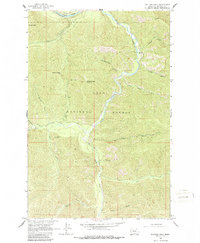
Editions of this 1964 Williams Peak Map
2 editions found
Other maps of this area

1911 · Lolo
USGS Topo · 1:250,000

1913 · Lolo
USGS Topo · 1:250,000

1956 · Wallace
USGS Topo · 1:250,000

1956 · Hamilton
USGS Topo · 1:250,000

1959 · Hamilton
USGS Topo · 1:250,000

1959 · Tarkio
USGS Topo · 1:62,500

1960 · Wallace
USGS Topo · 1:250,000

1960 · Hamilton
USGS Topo · 1:250,000

1960 · Superior
USGS Topo · 1:62,500

1960 · Straight Peak
USGS Topo · 1:62,500