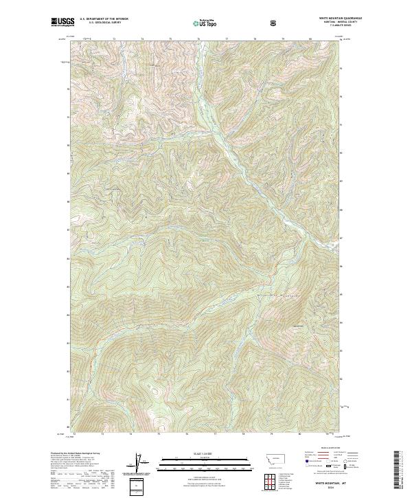
2024 Map of White Mountain
USGS Topo · Published 2024About this map
Lolo National Forest encompasses the high-elevation drainage basins of the Bitterroot Mountains in this modern topographic study of Mineral County. The terrain is defined by a dense network of mountain streams, including the headwaters of South Fork Fish Creek and the meandering Cache Creek. Notable peaks and lookout points like White Mtn and Lion Point anchor the landscape, providing orientation for the trails and forestry roads that weave through the drainage divides.
Find a feature on this map
26 named features on this map. Tap any name to fly to it.
Don’t see what you’re looking for? This feature index may not catch every label — zoom into the map to look around manually.
Map Details
Editions of this 2024 White Mountain Map
This is the sole edition of this map. No revisions or reprints were ever made.
Other maps of this area

1911 · Lolo
USGS Topo · 1:250,000

1913 · Lolo
USGS Topo · 1:250,000

1956 · Hamilton
USGS Topo · 1:250,000

1959 · Hamilton
USGS Topo · 1:250,000

1960 · Hamilton
USGS Topo · 1:250,000

1960 · Straight Peak
USGS Topo · 1:62,500

1964 · Hamilton
USGS Topo · 1:250,000

1964 · Lolo Hot Springs
USGS Topo · 1:24,000
1964 · Williams Peak
USGS Topo · 1:24,000
1964 · Deer Peak
USGS Topo · 1:24,000