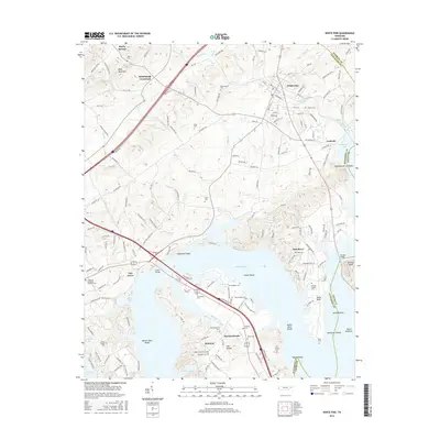
2016 Map of White Pine
USGS Topo · Published 2016About this map
Douglas Lake dominates the southern half of this landscape, its waters submerging numerous shoals and points where the French Broad River once flowed more narrowly. The shoreline is punctuated by several small communities and historical burial grounds, including the town of Baneberry and the rural settlements of Swannsylvania and Belmont. Along the northern banks, Evans Shoals and Copeland Shoals mark the transition from deep water to the undulating terrain that rises toward Bays Mountain.
Find a feature on this map
139 named features on this map. Tap any name to fly to it.
Don’t see what you’re looking for? This feature index may not catch every label — zoom into the map to look around manually.
Map Details
Editions of this 2016 White Pine Map
This is the sole edition of this map. No revisions or reprints were ever made.
Other maps of this area

1883 · Morristown
USGS Topo · 1:125,000

1893 · Mt Guyot
USGS Topo · 1:125,000

1893 · Morristown
USGS Topo · 1:125,000

1895 · Morristown
USGS Topo · 1:125,000

1912 · Mt Guyot
USGS Topo · 1:125,000

1935 · Newport
USGS Topo · 1:48,000

1935 · White Pine
USGS Topo · 1:24,000

1935 · English Mountain
USGS Topo · 1:48,000

1935 · Clevenger
USGS Topo · 1:24,000

1935 · Springvale
USGS Topo · 1:24,000