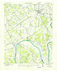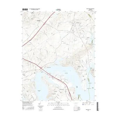
1961 Map of White Pine
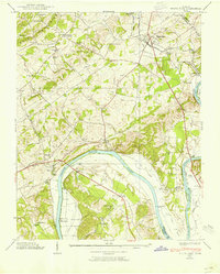
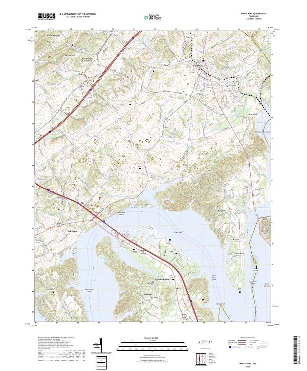
USGS Topo · Published 1989About this map
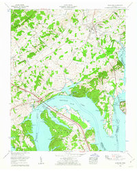
Douglas Lake and the French Broad River dominate the southern half of this Tennessee landscape, marking the intersection of Jefferson and Cocke counties. In the early 1960s, the terrain shows a transition from the wooded heights of Bays Mountain in the northwest to the active transport corridors of the Southern Railway and Dixie Highway passing through White Pine. The map records a dense network of family and community landmarks, including the Swannsylvania School and numerous rural houses of worship like Hankins Chapel and Swannsylvania Ch. Lakeside infrastructure is well-defined, featuring the Swann Dock, Conn Dock, and the Swann Lakeside Airpark near Dallon Lake. This survey illustrates the post-impoundment geography where old roads like Taylor Bend Road meet the rising waters of the reservoir.
Find a feature on this map
63 named features on this map. Tap any name to fly to it.
Don’t see what you’re looking for? This feature index may not catch every label — zoom into the map to look around manually.
Map Details
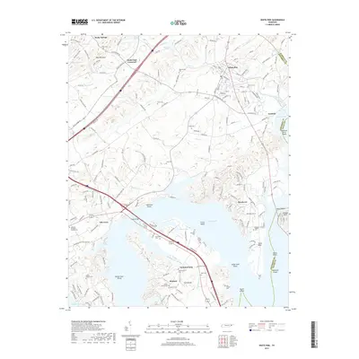
Editions of this 1961 White Pine Map
2 editions found
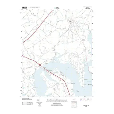
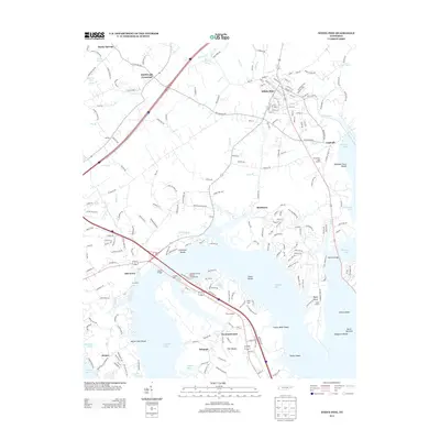
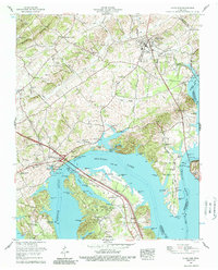
Historical Maps of White Pine Through Time
8 maps found