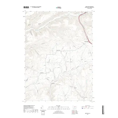
2019 Map of White Pine
USGS Topo · Published 2019About this map
Cogan House Covered Bridge stands as a central landmark in this part of Lycoming County, spanning Larrys Cr near the base of Buckhorn Mtn. The landscape is defined by a dense network of high ridges and deep hollows, such as Eutermarks Hollow and Sawmill Hollow, which have historically dictated the placement of small rural settlements. Small communities like White Pine, Beech Grove, and Steam Valley are connected by winding roads that follow the natural contours of the stream valleys.
Find a feature on this map
73 named features on this map. Tap any name to fly to it.
Don’t see what you’re looking for? This feature index may not catch every label — zoom into the map to look around manually.
Map Details
Editions of this 2019 White Pine Map
This is the sole edition of this map. No revisions or reprints were ever made.
Other maps of this area

1921 · Trout Run
USGS Topo · 1:62,500

1923 · Trout Run
USGS Topo · 1:62,500

1925 · Blossburg
USGS Topo · 1:62,500

1927 · Blossburg
USGS Topo · 1:62,500

1935 · Waterville
USGS Topo · 1:24,000

1937 · Waterville
USGS Topo · 1:48,000

1943 · Waterville
USGS Topo · 1:62,500

1944 · Blossburg
USGS Topo · 1:62,500

1944 · Trout Run
USGS Topo · 1:62,500

1946 · Antrim
USGS Topo · 1:62,500
Featured Places
- Pine Township, PA
- Steam Valley, Cogan House Township
- Cogan House Township, PA
- Jackson Township, PA
- White Pine, Cogan House Township