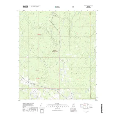
2018 Map of White Plains
USGS Topo · Published 2018About this map
De Soto National Forest dominates this section of the Gulf Coast hinterlands, where the landscape is defined by the dense network of drainage systems feeding toward the coast. The Tchoutacabouffa River winds through the eastern portion of the survey, joined by numerous tributaries including Tuxachanie Cr and Bayou Billie. This environment dictated a settlement pattern of small, dispersed communities like White Plains and Woolmarket (De Soto), often situated near these vital water sources.
Find a feature on this map
64 named features on this map. Tap any name to fly to it.
Don’t see what you’re looking for? This feature index may not catch every label — zoom into the map to look around manually.
Map Details
Editions of this 2018 White Plains Map
This is the sole edition of this map. No revisions or reprints were ever made.
Other maps of this area

1953 · Mobile
USGS Topo · 1:250,000

1954 · Vestry
USGS Topo · 1:62,500

1954 · McHenry
USGS Topo · 1:62,500

1954 · Gulfport North
USGS Topo · 1:24,000

1954 · Ocean Springs
USGS Topo · 1:24,000

1954 · Biloxi
USGS Topo · 1:24,000

1954 · Biloxi
USGS Topo · 1:62,500

1957 · Mobile
USGS Topo · 1:250,000

1960 · Mobile
USGS Topo · 1:250,000

1963 · Mobile
USGS Topo · 1:250,000