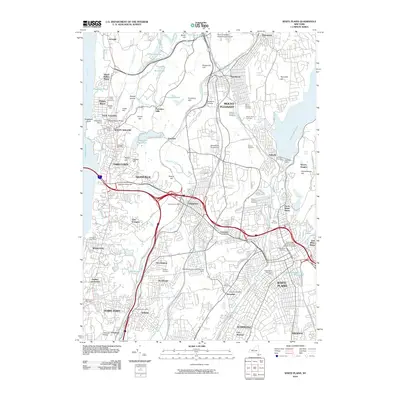
2010 Map of White Plains
USGS Topo · Published 2010About this map
The eastern banks of the Tappan Zee and Hudson River anchor this late-century portrait of Westchester County. This densely settled corridor features a series of riverfront villages including Tarrytown, Dobbs Ferry, and Irvington, which are connected to the city by the Metro-North Railroad. Inland, the landscape is defined by massive water management infrastructure and expansive memorial grounds. The Kensico Reservoir and Kensico Dam dominate the northeastern quadrant, while numerous large burial sites like Sleepy Hollow Cemetery and Ferncliff Cemetery reflect the region's long history as a final resting place for the metropolitan area. The presence of Pocantico Hills and Kykuit Hill marks the sprawling estate lands that historically buffered these suburban developments from the rising industrial activity along the river.
Find a feature on this map
118 named features on this map. Tap any name to fly to it.
Don’t see what you’re looking for? This feature index may not catch every label — zoom into the map to look around manually.
Map Details
Editions of this 2010 White Plains Map
This is the sole edition of this map. No revisions or reprints were ever made.
Other maps of this area

1891 · Harlem
USGS Topo · 1:62,500

1892 · Stamford
USGS Topo · 1:62,500

1892 · Tarrytown
USGS Topo · 1:62,500

1893 · Stamford
USGS Topo · 1:62,500

1893 · Tarrytown
USGS Topo · 1:62,500

1897 · Harlem
USGS Topo · 1:62,500

1897 · Oyster Bay
USGS Topo · 1:62,500

1898 · Harlem
USGS Topo · 1:62,500

1898 · Oyster Bay
USGS Topo · 1:62,500

1899 · Stamford
USGS Topo · 1:62,500