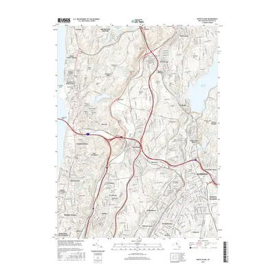
2016 Map of White Plains
USGS Topo · Published 2016About this map
Sleepy Hollow and the Pocantico Hills estate lands define the northern reaches of this Westchester County landscape. The map captures an era of dense suburban integration where historic landmarks like Kykuit Hill and Philipse Manor stand alongside modern infrastructure like the Metro-North rail lines and the Tappan Zee Bridge. The region's burial traditions are prominently represented by sprawling grounds including Sleepy Hollow Cem and Gate of Heaven Cem, while the massive Kensico Reservoir anchors the eastern edge of the survey.
Find a feature on this map
93 named features on this map. Tap any name to fly to it.
Don’t see what you’re looking for? This feature index may not catch every label — zoom into the map to look around manually.
Map Details
Editions of this 2016 White Plains Map
This is the sole edition of this map. No revisions or reprints were ever made.
Other maps of this area

1891 · Harlem
USGS Topo · 1:62,500

1892 · Stamford
USGS Topo · 1:62,500

1892 · Tarrytown
USGS Topo · 1:62,500

1893 · Stamford
USGS Topo · 1:62,500

1893 · Tarrytown
USGS Topo · 1:62,500

1897 · Harlem
USGS Topo · 1:62,500

1897 · Oyster Bay
USGS Topo · 1:62,500

1898 · Harlem
USGS Topo · 1:62,500

1898 · Oyster Bay
USGS Topo · 1:62,500

1899 · Stamford
USGS Topo · 1:62,500