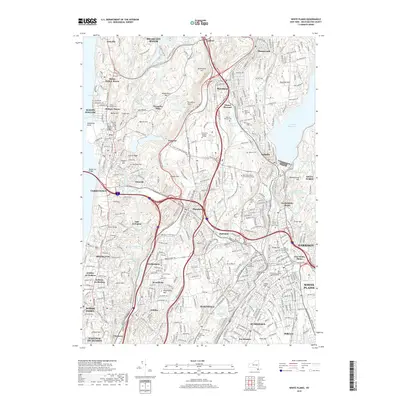
2019 Map of White Plains
USGS Topo · Published 2019About this map
Tarrytown and the surrounding Westchester County landscape are densely detailed in this modern topographical study, showing the area's intricate network of suburban communities and preserved open spaces. The map highlights the significant concentration of memorial grounds throughout the region, including the expansive Kensico Cem and the Ferncliff Cem. Transportation corridors like the Tappan Zee Bridge and the Saw Mill River valley define the local geography, connecting historic riverfront settlements like Sleepy Hollow and Dobbs Ferry.
Find a feature on this map
91 named features on this map. Tap any name to fly to it.
Don’t see what you’re looking for? This feature index may not catch every label — zoom into the map to look around manually.
Map Details
Editions of this 2019 White Plains Map
This is the sole edition of this map. No revisions or reprints were ever made.
Other maps of this area

1891 · Harlem
USGS Topo · 1:62,500

1892 · Stamford
USGS Topo · 1:62,500

1892 · Tarrytown
USGS Topo · 1:62,500

1893 · Stamford
USGS Topo · 1:62,500

1893 · Tarrytown
USGS Topo · 1:62,500

1897 · Harlem
USGS Topo · 1:62,500

1897 · Oyster Bay
USGS Topo · 1:62,500

1898 · Harlem
USGS Topo · 1:62,500

1898 · Oyster Bay
USGS Topo · 1:62,500

1899 · Stamford
USGS Topo · 1:62,500