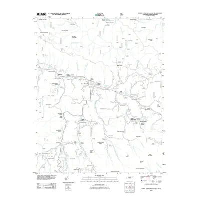
2011 Map of White Rocks Mountain
USGS Topo · Published 2011About this map
The Appalachian Trail winds through the high ridges of the Tennessee-North Carolina border, passing near White Rock Lookout Tower and the elevated terrain of Campbell Pen Knob. This landscape is defined by the steep valleys of the Doe River and its numerous tributaries, including Hampton Creek and Shell Creek. The settlement of Roan Mountain serves as a central hub for the area, located near the Roan Mountain Post Office and various small communities like Burbank, Evergreen, and the curiously named Bitter End.
Find a feature on this map
133 named features on this map. Tap any name to fly to it.
Don’t see what you’re looking for? This feature index may not catch every label — zoom into the map to look around manually.
Map Details
Editions of this 2011 White Rocks Mountain Map
This is the sole edition of this map. No revisions or reprints were ever made.
Other maps of this area

1891 · Roan Mountain
USGS Topo · 1:125,000

1893 · Cranberry
USGS Topo · 1:125,000

1894 · Roan Mountain
USGS Topo · 1:125,000

1895 · Cranberry
USGS Topo · 1:125,000

1899 · Cranberry
USGS Topo · 1:125,000

1902 · Cranberry
USGS Topo · 1:125,000

1904 · Roan Mountain
USGS Topo · 1:125,000

1934 · White Rocks Mtn
USGS Topo · 1:24,000

1934 · Bakersville
USGS Topo · 1:24,000

1934 · Iron Mtn Gap
USGS Topo · 1:24,000