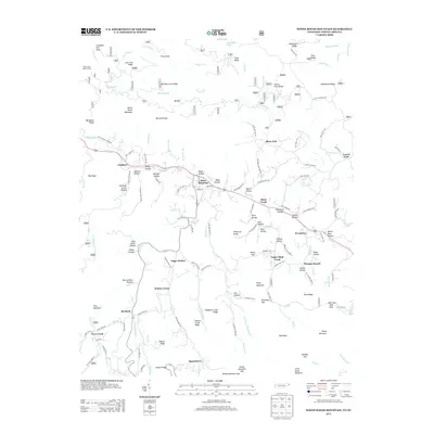
2013 Map of White Rocks Mountain
USGS Topo · Published 2013About this map
Roan Mountain serves as a central hub in this Appalachian landscape, where the Doe River winds through a series of hollows that define the local geography. The settlement pattern follows the narrow valley floors, with communities like Shell Creek, Evergreen, and Burbank established along the primary watercourses and road networks. Evidence of the region’s industrial past remains visible in labels such as Old Railroad Grade Rd and Wilder Mine Hollow, indicating a history tied to resource extraction and timber transport. The topography is exceptionally varied, rising from the river banks to prominent heights at White Rocks Mountain and Campbell Pen Knob. Higher elevations are traversed by the Appalachian Trl, while the numerous family-named hollows—such as Shelly Hollow and Harrison Street Hollow—provide a detailed record of local land use and long-standing residency in this corner of Tennessee.
Find a feature on this map
145 named features on this map. Tap any name to fly to it.
Don’t see what you’re looking for? This feature index may not catch every label — zoom into the map to look around manually.
Map Details
Editions of this 2013 White Rocks Mountain Map
This is the sole edition of this map. No revisions or reprints were ever made.
Other maps of this area

1891 · Roan Mountain
USGS Topo · 1:125,000

1893 · Cranberry
USGS Topo · 1:125,000

1894 · Roan Mountain
USGS Topo · 1:125,000

1895 · Cranberry
USGS Topo · 1:125,000

1899 · Cranberry
USGS Topo · 1:125,000

1902 · Cranberry
USGS Topo · 1:125,000

1904 · Roan Mountain
USGS Topo · 1:125,000

1934 · White Rocks Mtn
USGS Topo · 1:24,000

1934 · Bakersville
USGS Topo · 1:24,000

1934 · Iron Mtn Gap
USGS Topo · 1:24,000