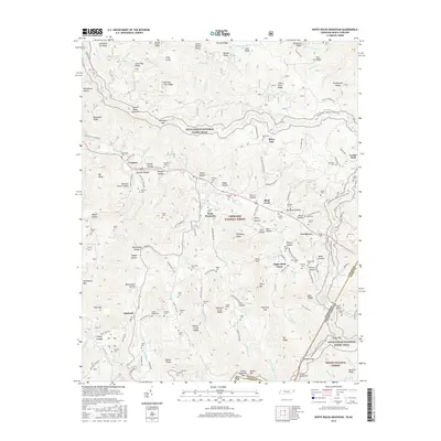
2016 Map of White Rocks Mountain
USGS Topo · Published 2016About this map
Roan Mountain and the surrounding high country of the Cherokee National Forest anchor this detailed study of the Tennessee and North Carolina borderlands. The landscape is defined by its deep hollows and steep ridges, with the Appalachian National Scenic Trail winding along the southern heights near Pine Mtn and Strawberry Mtn. The Doe River and its numerous tributaries, including Hampton Cr and Shell Cr, have historically dictated the placement of settlements and transport routes.
Find a feature on this map
162 named features on this map. Tap any name to fly to it.
Don’t see what you’re looking for? This feature index may not catch every label — zoom into the map to look around manually.
Map Details
Editions of this 2016 White Rocks Mountain Map
This is the sole edition of this map. No revisions or reprints were ever made.
Other maps of this area

1891 · Roan Mountain
USGS Topo · 1:125,000

1893 · Cranberry
USGS Topo · 1:125,000

1894 · Roan Mountain
USGS Topo · 1:125,000

1895 · Cranberry
USGS Topo · 1:125,000

1899 · Cranberry
USGS Topo · 1:125,000

1902 · Cranberry
USGS Topo · 1:125,000

1904 · Roan Mountain
USGS Topo · 1:125,000

1934 · White Rocks Mtn
USGS Topo · 1:24,000

1934 · Bakersville
USGS Topo · 1:24,000

1934 · Iron Mtn Gap
USGS Topo · 1:24,000