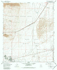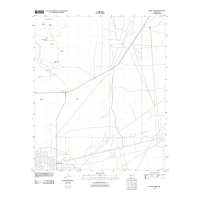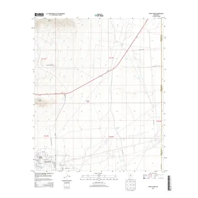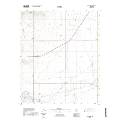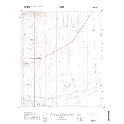
1982 Map of White Sands
USGS Topo · Published 1982About this map
The San Andres Mountains dominate the central spine of this map, dividing the arid basin of Jornada Del Muerto to the west from the gypsum dunes of White Sands to the east. This landscape reflects the heavy federal footprint of the early 1980s, where traditional ranching territory intersects with high-tech military and scientific research zones. Large-scale land management is evident in the Jornada Experimental Range and the San Andres National Wildlife Refuge, while the White Sands Missile Range and the White Sands Test Facility (NASA) underscore the region's importance to national defense and aerospace development.
Find a feature on this map
42 named features on this map. Tap any name to fly to it.
Don’t see what you’re looking for? This feature index may not catch every label — zoom into the map to look around manually.
Map Details
Editions of this 1982 White Sands Map
This is the sole edition of this map. No revisions or reprints were ever made.
Historical Maps of Alamogordo Through Time
7 maps found