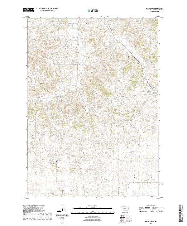
2021 Map of Whiteclay SE
USGS Topo · Published 2021About this map
Novotny Cem sits as a quiet landmark in the southern reaches of this Sheridan County landscape, where the drainage of White Clay Cr and Rush Cr carve through the high plains. The area is defined by a sparse network of section-line roads and more organic routes like White Clay Creek Rd and 370th Trl, tracing the natural rise and fall of the terrain.
Find a feature on this map
19 named features on this map. Tap any name to fly to it.
Don’t see what you’re looking for? This feature index may not catch every label — zoom into the map to look around manually.
Map Details
Editions of this 2021 Whiteclay SE Map
This is the sole edition of this map. No revisions or reprints were ever made.
Other maps of this area

1955 · Alliance
USGS Topo · 1:250,000

1957 · Alliance
USGS Topo · 1:250,000

1958 · Alliance
USGS Topo · 1:250,000

1966 · Rushville
USGS Topo · 1:24,000

1966 · Hay Springs NE
USGS Topo · 1:24,000

1966 · Hay Springs
USGS Topo · 1:24,000

1969 · Whiteclay
USGS Topo · 1:24,000

1969 · Clinton NW
USGS Topo · 1:24,000

1969 · Clinton SW
USGS Topo · 1:24,000

1969 · Beaver Wall
USGS Topo · 1:24,000