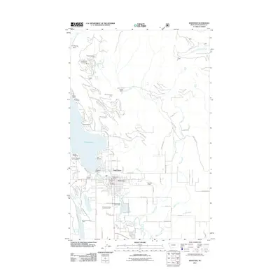
2011 Map of Whitefish
USGS Topo · Published 2011About this map
Whitefish serves as the focal point of this 2011 survey, showing the city's relationship with the expansive Whitefish Lake. The map reveals a community structured around recreation and essential services, from the residential enclave of Happy Haven to the Par Three on Ninety-Three Golf Course. The transportation network is anchored by Whitefish Airport and the prominent Big Mountain Rd leading north into the highlands.
Find a feature on this map
99 named features on this map. Tap any name to fly to it.
Don’t see what you’re looking for? This feature index may not catch every label — zoom into the map to look around manually.
Map Details
Editions of this 2011 Whitefish Map
This is the sole edition of this map. No revisions or reprints were ever made.
Other maps of this area

1906 · Kintla Lakes
USGS Topo · 1:125,000

1938 · Kintla Lakes
USGS Topo · 1:125,000

1943 · Kalispell
USGS Topo · 1:125,000

1957 · Kalispell
USGS Topo · 1:250,000

1960 · Kalispell
USGS Topo · 1:250,000

1961 · Kalispell
USGS Topo · 1:250,000

1962 · Columbia Falls South
USGS Topo · 1:24,000

1962 · Rose Crossing
USGS Topo · 1:24,000

1962 · Beaver Lake
USGS Topo · 1:24,000

1962 · Rhodes
USGS Topo · 1:24,000