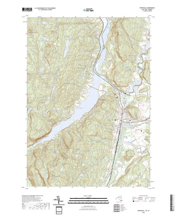
2023 Map of Whitehall
USGS Topo · Published 2023About this map
Whitehall sits at a critical geographic junction where the Champlain Canal meets the southern waters of Lake Champlain. This landscape is defined by the narrow passage of water between Skene Mountain and the rising elevations of the Adirondack Park Preserve to the west. The village layout reflects its historical role as a canal port and railway hub, with streets like Broadway St and Poultney St anchoring the settlement near the confluence of the Mettawee River and Wood Creek.
Find a feature on this map
95 named features on this map. Tap any name to fly to it.
Don’t see what you’re looking for? This feature index may not catch every label — zoom into the map to look around manually.
Map Details
Editions of this 2023 Whitehall Map
This is the sole edition of this map. No revisions or reprints were ever made.
Other maps of this area

1893 · Fort Ann
USGS Topo · 1:62,500

1893 · Whitehall
USGS Topo · 1:62,500

1895 · Whitehall
USGS Topo · 1:62,500

1895 · Fort Ann
USGS Topo · 1:62,500

1895 · Glens Falls
USGS Topo · 1:62,500

1897 · Bolton
USGS Topo · 1:62,500

1897 · Glens Falls
USGS Topo · 1:62,500

1898 · Whitehall
USGS Topo · 1:62,500

1898 · Fort Ann
USGS Topo · 1:62,500

1900 · Bolton
USGS Topo · 1:62,500