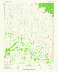
1961 Map of Whitehorse
USGS Topo · Published 1963About this map
Continental Divide winding through the high desert of McKinley County defines this 1961 landscape, a region of plateaus and ephemeral drainages. The settlement of Whitehorse serves as a small hub, supported by a local Landing Strip and proximity to the Prairie Dog Trading Post to the southeast. The geography is characterized by prominent elevations like Chaco Mesa and Mesa Alta, where water management and ranching infrastructure are indicated by features such as Spider Well, Lasker Windmill, and Fence Lake.
Find a feature on this map
15 named features on this map. Tap any name to fly to it.
Don’t see what you’re looking for? This feature index may not catch every label — zoom into the map to look around manually.
Map Details
Editions of this 1961 Whitehorse Map
2 editions found

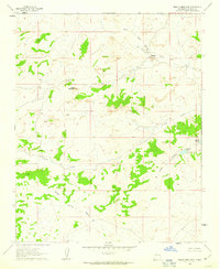
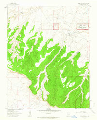
Other maps of this area

1883 · Mt. Taylor
USGS Topo · 1:250,000

1886 · Mt. Taylor
USGS Topo · 1:250,000

1892 · Mt. Taylor
USGS Topo · 1:250,000

1899 · Mt. Taylor
USGS Topo · 1:250,000

1958 · Albuquerque
USGS Topo · 1:250,000
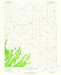
1960 · Pueblo Alto Trading Post
USGS Topo · 1:24,000

1961 · Whitehorse Rincon
USGS Topo · 1:24,000

1961 · Hospah
USGS Topo · 1:24,000
1961 · Mesita Americana
USGS Topo · 1:24,000
1961 · Pueblo Pintado
USGS Topo · 1:24,000
Featured Places
- Eastern Navajo Agency, NM
- Whitehorse, Eastern Navajo Agency
- McKinley County, NM
- United States
- New Mexico