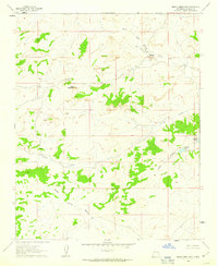
1961 Map of Mesita Americana
USGS Topo · Published 1963About this map
Mesita Americana stands as a prominent topographical feature in this corner of McKinley County, defining a landscape marked by complex drainage systems and isolated outposts. The 1961 field check captures the area during a period of sparse ranching activity, evidenced by the Ball Ranch and Mesita Camp BM 6789 in the northern portion of the quadrangle. An unpaved Landing Strip near North Fork Arroyo Chico suggests the reliance on small aircraft for reaching these remote high-desert locations.
Find a feature on this map
13 named features on this map. Tap any name to fly to it.
Don’t see what you’re looking for? This feature index may not catch every label — zoom into the map to look around manually.
Map Details
Editions of this 1961 Mesita Americana Map
2 editions found

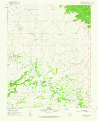
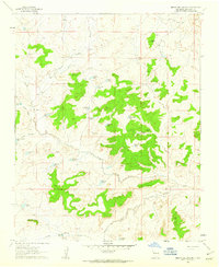
Other maps of this area

1883 · Mt. Taylor
USGS Topo · 1:250,000

1886 · Mt. Taylor
USGS Topo · 1:250,000

1892 · Mt. Taylor
USGS Topo · 1:250,000

1899 · Mt. Taylor
USGS Topo · 1:250,000

1958 · Albuquerque
USGS Topo · 1:250,000

1961 · El Dado
USGS Topo · 1:24,000

1961 · Piedra De La Aguila
USGS Topo · 1:24,000

1961 · Whitehorse Rincon
USGS Topo · 1:24,000
1961 · Whitehorse
USGS Topo · 1:24,000
1961 · Mesita Del Gavilan
USGS Topo · 1:24,000