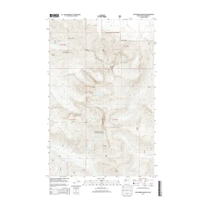
2014 Map of Whitehorse Mountain
USGS Topo · Published 2014About this map
Mount Baker National Forest dominates this high-altitude topography, defined by its massive peaks and active glacial systems in the North Cascades. The map center is anchored by the dual summits of Whitehorse Mtn and Three Fingers, where the So-Bahli-Alhi Glacier and Queest-alb Glacier remain prominent features. These ice-carved landforms feed a complex drainage network, including the Boulder River and Squire Cr, which flow through steep basins like Wellman Basin and Sill Basin.
Find a feature on this map
37 named features on this map. Tap any name to fly to it.
Don’t see what you’re looking for? This feature index may not catch every label — zoom into the map to look around manually.
Map Details
Editions of this 2014 Whitehorse Mountain Map
This is the sole edition of this map. No revisions or reprints were ever made.
Other maps of this area

1899 · Stillaguamish
USGS Topo · 1:125,000

1901 · Stilaguamish
USGS Topo · 1:125,000

1955 · Concrete
USGS Topo · 1:250,000

1956 · Oso
USGS Topo · 1:62,500

1956 · Granite Falls
USGS Topo · 1:62,500

1957 · Silverton
USGS Topo · 1:62,500

1958 · Concrete
USGS Topo · 1:250,000

1962 · Concrete
USGS Topo · 1:250,000
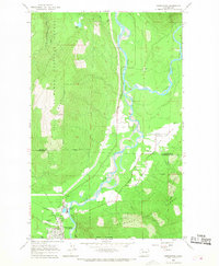
1966 · Darrington
USGS Topo · 1:24,000
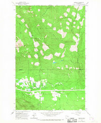
1966 · Fortson
USGS Topo · 1:24,000