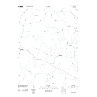
2013 Map of Whitesville
USGS Topo · Published 2013About this map
Whitesville and its surrounding rural corridors in Daviess County are defined by a complex network of waterways and early country roads. The landscape is bisected by the N Fork Panther Cr and S Fork Panther Cr, which drain the agricultural lands between small settlements like Aetnaville and Deanefield. The road network follows the undulating terrain, with names like Panther Creek Church Rd and Roby Lease Rd suggesting the historical importance of local congregations and landholdings. To the west, Deserter Cr flows through the area south of the main Whitesville settlement. The presence of Carter Ditch near the southern boundary indicates managed water systems within the Panther Creek drainage basin, while smaller communities like Haynesville and Roseville anchor the eastern side of the quadrangle along the winding path of modern thoroughfares.
Find a feature on this map
74 named features on this map. Tap any name to fly to it.
Don’t see what you’re looking for? This feature index may not catch every label — zoom into the map to look around manually.
Map Details
Editions of this 2013 Whitesville Map
This is the sole edition of this map. No revisions or reprints were ever made.
Other maps of this area

1903 · Tell City
USGS Topo · 1:62,500

1907 · Whitesville
USGS Topo · 1:62,500

1909 · Whitesville
USGS Topo · 1:62,500

1932 · Fordsville
USGS Topo · 1:62,500

1934 · Cannelton
USGS Topo · 1:62,500

1953 · Philpot
USGS Topo · 1:24,000

1953 · Dundee
USGS Topo · 1:24,000

1953 · Cloverport
USGS Topo · 1:24,000

1953 · Whitesville
USGS Topo · 1:24,000

1953 · Pleasant Ridge
USGS Topo · 1:24,000