Loading...
Loading map...2022 Map of Whiteville
USGS Topo · Published 2022About this map
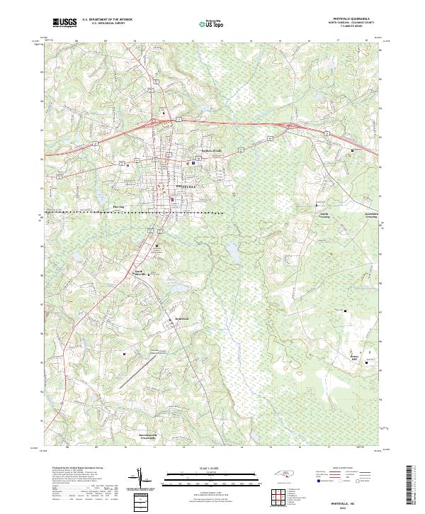
Whiteville serves as the focal point of this Columbus County landscape, anchored by the Columbus County Courthouse and surrounded by a network of drainage systems and agricultural lands. The topography is dominated by the extensive White Marsh to the east and south, while smaller water bodies like Richardson Millpond and Soules Swamp illustrate the historically wet nature of the coastal plain.
Find a feature on this map
159 named features on this map. Tap any name to fly to it.
Don’t see what you’re looking for? This feature index may not catch every label — zoom into the map to look around manually.
Map Details
Date Portrayed2022
Date Published2022
PublisherU.S. Geological Survey
Map TypeTopographic
Scale1:24000
Physical Dimensions24 x 29 inches
Editions of this 2022 Whiteville Map
This is the sole edition of this map. No revisions or reprints were ever made.
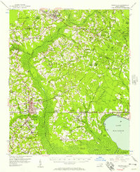
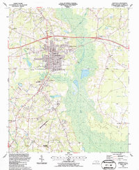
Historical Maps of North Carolina Through Time
5 maps found


Featured Locations
Source Details
SourceU.S. Geological Survey
CopyrightPublic Domain