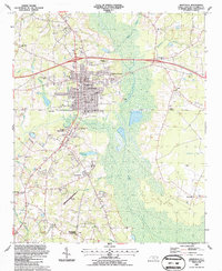
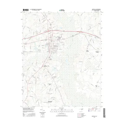
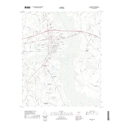
1987 Map of Whiteville
USGS Topo · Published 1987About this map
Whiteville serves as the focal point of this late-1980s landscape, where the urban grid meets the extensive wetlands of the Carolina coastal plain. The town's significance as a regional hub is reflected in the concentration of civic institutions, including the Courthouse, County Hospital, and several educational centers like the Columbia Christian Academy. The surrounding terrain is defined by the broad expanse of White Marsh and Soules Swamp, which frame the community to the east and south.
Find a feature on this map
72 named features on this map. Tap any name to fly to it.
Don’t see what you’re looking for? This feature index may not catch every label — zoom into the map to look around manually.
Map Details
Editions of this 1987 Whiteville Map
This is the sole edition of this map. No revisions or reprints were ever made.
Historical Maps of Whiteville Through Time
9 maps found
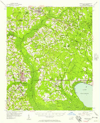
1955 Whiteville
Columbus County, NC

1986 Whiteville
Columbus County, NC
1987 Whiteville
Columbus County, NC

1990 Whiteville
Columbus County, NC
2010 Whiteville
Columbus County, NC
2013 Whiteville
Columbus County, NC
2016 Whiteville
Columbus County, NC
2019 Whiteville
Columbus County, NC
2022 Whiteville
Columbus County, NC