
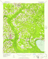
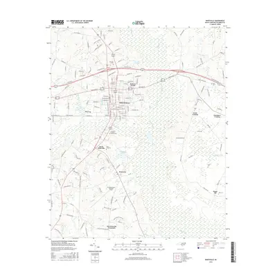
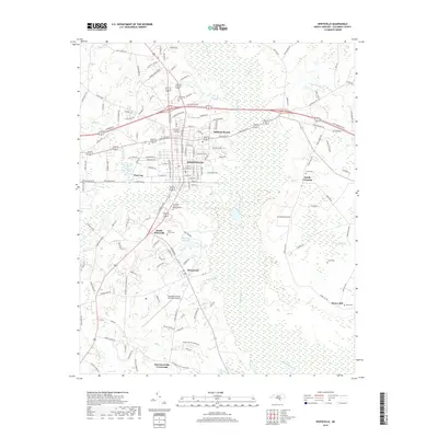
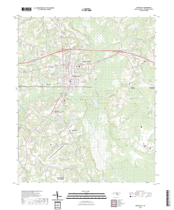
1986 Map of Whiteville
USGS Topo · Published 1986About this map
The Green Swamp and the waters of Lake Waccamaw define the southeastern North Carolina landscape in the mid-1980s. This planimetric study documents a region of intricate wetlands and established rail corridors, where the Seaboard Coast Line connects settlements such as Chadbourn, Whiteville, and Fair Bluff. To the east, the Cape Fear River and the Cape Fear Lowlands provide a distinct natural boundary near industrial sites like Riegelwood and Acme. The map reveals the relationship between low-lying terrain and human settlement, with family-named locations such as Peacocks and Woolens Crossroads scattered between the swamps. Across the border in South Carolina, the town of Loris serves as a local hub. Significant natural landmarks including Crusoe Island and the Lake Waccamaw State Park are clearly delineated, illustrating the vast undeveloped tracts that remain despite the presence of growing towns like Tabor City and Leland.
Find a feature on this map
194 named features on this map. Tap any name to fly to it.
Don’t see what you’re looking for? This feature index may not catch every label — zoom into the map to look around manually.
Map Details
Editions of this 1986 Whiteville Map
This is the sole edition of this map. No revisions or reprints were ever made.
Historical Maps of Leland Through Time
9 maps found
1955 Whiteville
Columbus County, NC
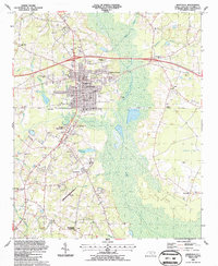
1986 Whiteville
Columbus County, NC
1987 Whiteville
Columbus County, NC

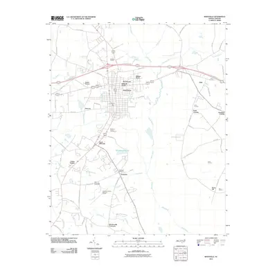
1990 Whiteville
Columbus County, NC
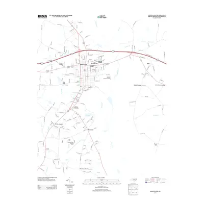
2010 Whiteville
Columbus County, NC
2013 Whiteville
Columbus County, NC
2016 Whiteville
Columbus County, NC
2019 Whiteville
Columbus County, NC
2022 Whiteville
Columbus County, NC