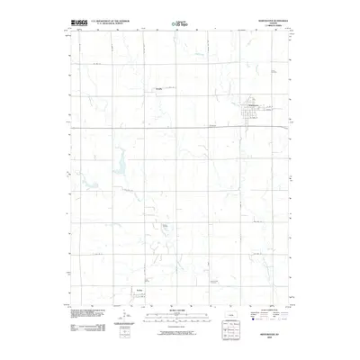
2009 Map of Whitewater
USGS Topo · Published 2009About this map
Whitewater serves as the primary municipal center in this section of Butler County, organized around a rectilinear street grid including E Central St and E Carr St. The surrounding landscape is defined by the agricultural and extractive industries typical of the Kansas plains in the early twenty-first century. Waterways like Gypsum Creek and the West Branch Whitewater River wind through the township, while smaller settlements such as Annelly and Furley punctuate the grid of county roads. Industrial activity is visible in the Dubois Oil Field and Furley Oil Field, illustrating the economic reliance on natural resources. Local genealogy is anchored by several established burial grounds, including the Swiss Cemetery to the northeast and the Green Valley Cemetery in the southern reaches, providing a clear record of the community's historical footprint.
Find a feature on this map
33 named features on this map. Tap any name to fly to it.
Don’t see what you’re looking for? This feature index may not catch every label — zoom into the map to look around manually.
Map Details
Editions of this 2009 Whitewater Map
This is the sole edition of this map. No revisions or reprints were ever made.
Other maps of this area

1889 · Newton
USGS Topo · 1:125,000

1889 · Wichita
USGS Topo · 1:125,000

1894 · Wichita
USGS Topo · 1:125,000

1894 · Newton
USGS Topo · 1:125,000

1941 · Valley Center
USGS Topo · 1:31,680

1942 · Valley Center
USGS Topo · 1:31,680

1955 · Benton
USGS Topo · 1:24,000

1955 · Greenwich
USGS Topo · 1:24,000

1955 · Wichita
USGS Topo · 1:250,000

1955 · Hutchinson
USGS Topo · 1:250,000