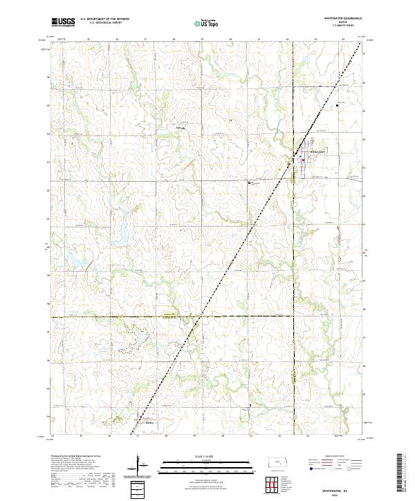
2022 Map of Whitewater
USGS Topo · Published 2022About this map
Whitewater serves as the primary hub in this Kansas landscape, situated at the junction of K 196 and Osage Rd. The area is characterized by a complex drainage system that includes the W Br Whitewater River and several tributaries such as Gypsum Cr and Wildcat Creek. This 2022 survey captures the agricultural and rural layout of the region, where the town grid of Whitewater is clearly defined by streets like N Main St and N Elm St.
Find a feature on this map
63 named features on this map. Tap any name to fly to it.
Don’t see what you’re looking for? This feature index may not catch every label — zoom into the map to look around manually.
Map Details
Editions of this 2022 Whitewater Map
This is the sole edition of this map. No revisions or reprints were ever made.
Other maps of this area

1889 · Newton
USGS Topo · 1:125,000

1889 · Wichita
USGS Topo · 1:125,000

1894 · Wichita
USGS Topo · 1:125,000

1894 · Newton
USGS Topo · 1:125,000

1941 · Valley Center
USGS Topo · 1:31,680

1942 · Valley Center
USGS Topo · 1:31,680

1955 · Benton
USGS Topo · 1:24,000

1955 · Greenwich
USGS Topo · 1:24,000

1955 · Wichita
USGS Topo · 1:250,000

1955 · Hutchinson
USGS Topo · 1:250,000