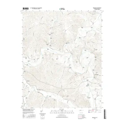
2016 Map of Whitfield
USGS Topo · Published 2016About this map
The Piney River and Duck River converge in this corner of Hickman County, creating a landscape defined by deep bends and narrow hollows. The settlement of Whitfield sits at a crossroads in the west, while the outskirts of Centerville appear to the east, connected by the winding path of Hwy 50 W Lp. This terrain is notably rich in family-named locations and burial sites, including the Murphy Cem near Whitfield and the McCollum Cem further south.
Find a feature on this map
123 named features on this map. Tap any name to fly to it.
Don’t see what you’re looking for? This feature index may not catch every label — zoom into the map to look around manually.
Map Details
Editions of this 2016 Whitfield Map
This is the sole edition of this map. No revisions or reprints were ever made.
Other maps of this area

1901 · Colombia
USGS Topo · 1:125,000

1936 · Pleasantville
USGS Topo · 1:24,000

1936 · Coble
USGS Topo · 1:24,000

1936 · Beaverdam Springs
USGS Topo · 1:24,000

1936 · Nunnelly
USGS Topo · 1:24,000

1936 · Whitfield
USGS Topo · 1:24,000

1936 · Sunrise
USGS Topo · 1:24,000

1936 · Bucksnort
USGS Topo · 1:24,000

1936 · Texas Hollow
USGS Topo · 1:24,000

1936 · Spot
USGS Topo · 1:24,000