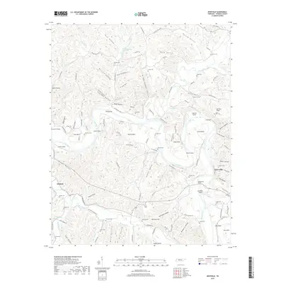
2019 Map of Whitfield
USGS Topo · Published 2019About this map
The Duck River snakes through a landscape defined by deep hollows and sharp bends in this detailed survey of Hickman County. Near the eastern edge, the settlement of Centerville sits perched above Clifty Hollow, while Whitfield serves as the focal point for the western portion of the map. The region's geography is intricately tied to the waterways, with prominent features like Easley Bend, Council Bend, and Logshoal Island illustrating the river's winding course.
Find a feature on this map
124 named features on this map. Tap any name to fly to it.
Don’t see what you’re looking for? This feature index may not catch every label — zoom into the map to look around manually.
Map Details
Editions of this 2019 Whitfield Map
This is the sole edition of this map. No revisions or reprints were ever made.
Other maps of this area

1901 · Colombia
USGS Topo · 1:125,000

1936 · Pleasantville
USGS Topo · 1:24,000

1936 · Coble
USGS Topo · 1:24,000

1936 · Beaverdam Springs
USGS Topo · 1:24,000

1936 · Nunnelly
USGS Topo · 1:24,000

1936 · Whitfield
USGS Topo · 1:24,000

1936 · Sunrise
USGS Topo · 1:24,000

1936 · Bucksnort
USGS Topo · 1:24,000

1936 · Texas Hollow
USGS Topo · 1:24,000

1936 · Spot
USGS Topo · 1:24,000