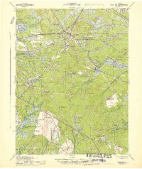
1942 Map of Whiting
USGS Topo · Published 1942About this map
Whiting serves as the central hub of this Pine Barrens landscape, where the Central Railroad of New Jersey and Pennsylvania Lines intersect. The 1942 survey reveals an economy deeply tied to the land, marked by numerous Cranberry Bogs and the timber resources of Lebanon State Forest and Bass River State Forest. Significant portions of the northwestern quadrangle are dedicated to the Fort Dix Military Reservation, illustrating the era's wartime mobilization.
Find a feature on this map
83 named features on this map. Tap any name to fly to it.
Don’t see what you’re looking for? This feature index may not catch every label — zoom into the map to look around manually.
Map Details
Editions of this 1942 Whiting Map
2 editions found
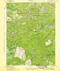
Other maps of this area

1884 · Whitings
USGS Topo · 1:62,500

1888 · Bordentown
USGS Topo · 1:62,500

1888 · Pemberton
USGS Topo · 1:62,500

1888 · Barnegat
USGS Topo · 1:62,500

1888 · Little Egg Harbor
USGS Topo · 1:62,500

1888 · Asbury Park
USGS Topo · 1:62,500

1888 · Cassville
USGS Topo · 1:62,500

1888 · Long Beach
USGS Topo · 1:62,500

1888 · Whitings
USGS Topo · 1:62,500

1890 · Mullica
USGS Topo · 1:62,500