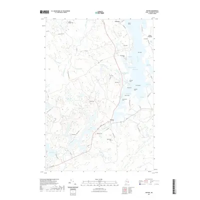
2021 Map of Whiting
USGS Topo · Published 2021About this map
Whiting serves as the central hub of this coastal Washington County landscape, situated where the Orange River flows toward the tidal reaches of Whiting Bay. The geography is defined by a complex network of freshwater and saltwater interfaces, from the expansive Orange Lake in the southwest to the protected waters of Weir Cove in the east. Numerous named heights such as Pughole Mtn, Estey Mtn, and Keniston Mtn rise above the wetlands and brooks that drain the interior.
Find a feature on this map
76 named features on this map. Tap any name to fly to it.
Don’t see what you’re looking for? This feature index may not catch every label — zoom into the map to look around manually.
Map Details
Editions of this 2021 Whiting Map
This is the sole edition of this map. No revisions or reprints were ever made.
Other maps of this area

1907 · Eastport
USGS Topo · 1:48,000

1908 · Eastport
USGS Topo · 1:62,500

1917 · Cutler
USGS Topo · 1:62,500

1918 · Machias
USGS Topo · 1:62,500

1918 · Cutler
USGS Topo · 1:62,500

1941 · Machias
USGS Topo · 1:62,500

1941 · Gardner Lake
USGS Topo · 1:62,500

1943 · Gardner Lake
USGS Topo · 1:62,500

1943 · Eastport
USGS Topo · 1:62,500

1945 · Eastport
USGS Topo · 1:62,500