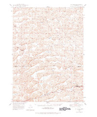
1948 Map of Whitman
USGS Topo · Published 1978About this map
The Chicago Burlington and Quincy railroad cuts through the southern Nebraska Sandhills, connecting the small unincorporated communities of Whitman and Duluth. This post-war survey highlights a landscape defined by extensive ranching operations, such as the Monahan Ranch, Dumbbell Ranch, and Rothwell Ranch, which utilized the natural meadows between the dunes. The presence of the Red Mill School serves as a reminder of the rural education system that supported these isolated ranching families during the mid-20th century.
Find a feature on this map
21 named features on this map. Tap any name to fly to it.
Don’t see what you’re looking for? This feature index may not catch every label — zoom into the map to look around manually.
Map Details
Editions of this 1948 Whitman Map
This is the sole edition of this map. No revisions or reprints were ever made.
Other maps of this area
1948 · Ashby
USGS Topo · 1:62,500
1948 · Carr Lake
USGS Topo · 1:62,500
1948 · George Lake
USGS Topo · 1:62,500
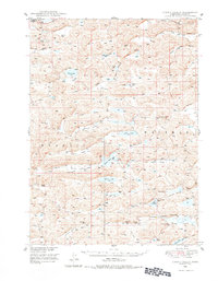
1948 · Spring Valley
USGS Topo · 1:62,500
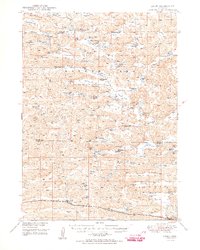
1949 · Ashby
USGS Topo · 1:62,500
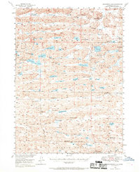
1949 · Steverson Lake
USGS Topo · 1:62,500
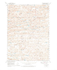
1949 · Turpin Lake
USGS Topo · 1:62,500
1950 · Spring Valley
USGS Topo · 1:62,500
1950 · Whitman
USGS Topo · 1:62,500
1950 · George Lake
USGS Topo · 1:62,500