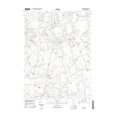
2015 Map of Whitman
USGS Topo · Published 2015About this map
Abington and Whitman anchor this detailed study of Plymouth County, where the dense suburban layout of Brockton gives way to a network of smaller villages and protected watersheds. The landscape is notably defined by its many historic burial sites, including the Old Church Burying Ground, the Torrey Family Burying Ground, and distinct family markers like the Nash Family Tomb. These sites, alongside the Island Grove Cem, provide a deep genealogical layer to a region that transitioned from early industrial centers to residential communities.
Find a feature on this map
228 named features on this map. Tap any name to fly to it.
Don’t see what you’re looking for? This feature index may not catch every label — zoom into the map to look around manually.
Map Details
Editions of this 2015 Whitman Map
This is the sole edition of this map. No revisions or reprints were ever made.
Other maps of this area

1885 · Abington
USGS Topo · 1:62,500

1885 · Middleboro
USGS Topo · 1:62,500

1885 · Taunton
USGS Topo · 1:62,500

1886 · Dedham
USGS Topo · 1:62,500

1888 · Taunton
USGS Topo · 1:62,500

1888 · Middleboro
USGS Topo · 1:62,500

1888 · Abington
USGS Topo · 1:62,500

1893 · Abington
USGS Topo · 1:62,500

1893 · Taunton
USGS Topo · 1:62,500

1893 · Middleboro
USGS Topo · 1:62,500