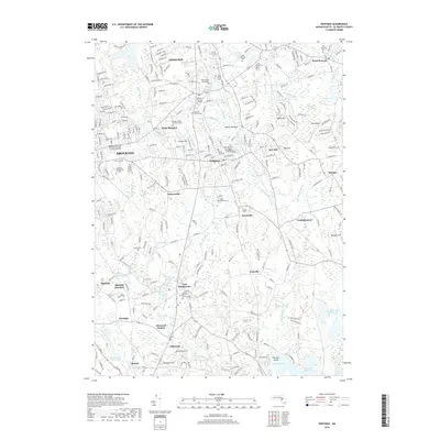
2018 Map of Whitman
USGS Topo · Published 2018About this map
Whitman and East Bridgewater center this Plymouth County landscape, where the Shumatuscacant River and Satucket River converge among numerous wetlands and meadows. The area is dense with sites of genealogical interest, including the Old Church Burying Ground, the Bicknell Family Tomb, and the Torrey Family Burying Ground. Educational and healthcare institutions like Massasoit Community College and the Signature Healthcare Brockton Hospital School of Nursing mark the western edge near Brockton. In the south, the rail-oriented heritage of the region is visible at Elmwood Station and Matfield Junction. The terrain is characterized by low-lying basins such as Hobart Meadow and Beech Hill Swamp, contrasting with local rises like Spragues Hill and Beech Hill. This map documents a suburban landscape that still preserves its historic burial sites and intricate river network.
Find a feature on this map
96 named features on this map. Tap any name to fly to it.
Don’t see what you’re looking for? This feature index may not catch every label — zoom into the map to look around manually.
Map Details
Editions of this 2018 Whitman Map
This is the sole edition of this map. No revisions or reprints were ever made.
Other maps of this area

1885 · Abington
USGS Topo · 1:62,500

1885 · Middleboro
USGS Topo · 1:62,500

1885 · Taunton
USGS Topo · 1:62,500

1886 · Dedham
USGS Topo · 1:62,500

1888 · Taunton
USGS Topo · 1:62,500

1888 · Middleboro
USGS Topo · 1:62,500

1888 · Abington
USGS Topo · 1:62,500

1893 · Abington
USGS Topo · 1:62,500

1893 · Taunton
USGS Topo · 1:62,500

1893 · Middleboro
USGS Topo · 1:62,500