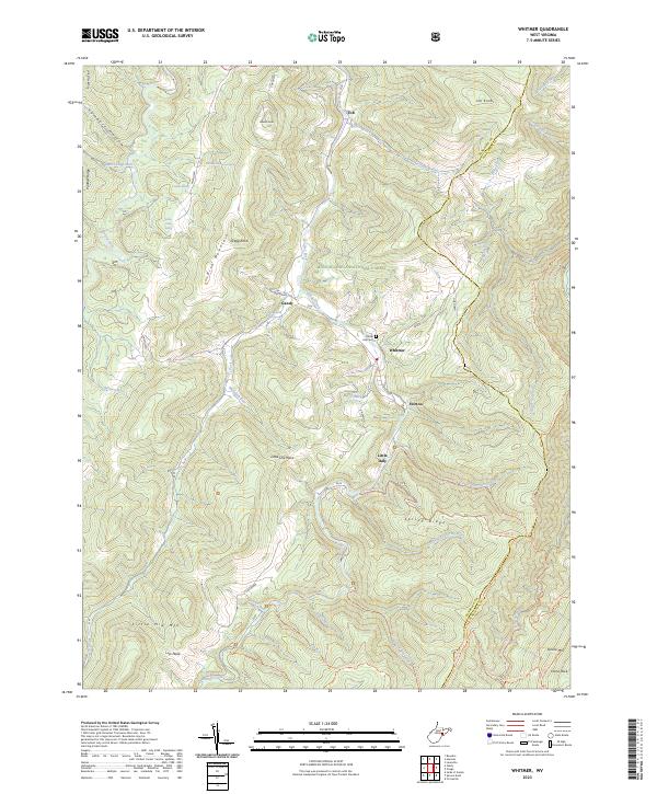
2023 Map of Whitmer
USGS Topo · Published 2023About this map
Whitmer and Horton sit along the winding path of Gandy Creek in this high-altitude landscape of the Monongahela National Forest. The geography is defined by parallel ridges and deep valleys, where small settlements like Job and Gandy are tucked between the heights of Gregg Knob and Job Knob. This map records a landscape heavily used for recreation and conservation, featuring the Laurel Fork North Wilderness and an extensive network of footpaths including the Seneca Creek Trl and Spring Ridge Trl. For genealogists, the Laurel Hill Cem and family-named landmarks like William Armentrout Spring and Ray Mullennex Spring provide specific points of connection to the local history of the Dry Fork valley. The convergence of numerous runs and springs emphasizes the area's role as a vital watershed within the Randolph and Pendleton county borderlands.
Find a feature on this map
63 named features on this map. Tap any name to fly to it.
Don’t see what you’re looking for? This feature index may not catch every label — zoom into the map to look around manually.
Map Details
Editions of this 2023 Whitmer Map
This is the sole edition of this map. No revisions or reprints were ever made.
Other maps of this area

1889 · Beverly
USGS Topo · 1:125,000

1892 · Beverly
USGS Topo · 1:125,000

1892 · Franklin
USGS Topo · 1:125,000

1896 · Franklin
USGS Topo · 1:125,000

1920 · Onego
USGS Topo · 1:62,500

1921 · Onego
USGS Topo · 1:48,000

1922 · Onego
USGS Topo · 1:62,500

1922 · Horton
USGS Topo · 1:48,000

1922 · Spruce Knob
USGS Topo · 1:48,000

1922 · Circleville
USGS Topo · 1:62,500