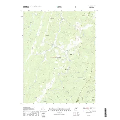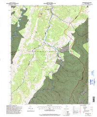
1995 Map of Whitmer
USGS Topo · Published 1998About this map
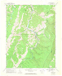
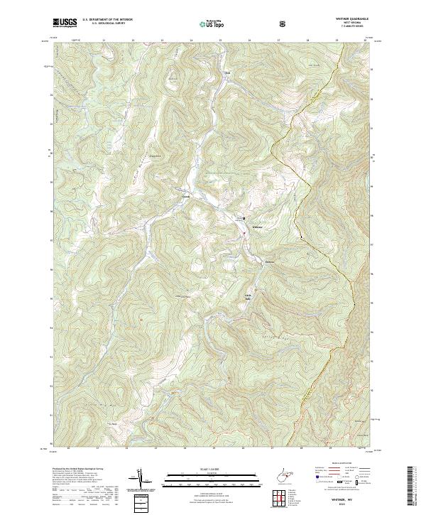
The Dry Fork river valley serves as the central artery for this portion of the Monongahela National Forest in West Virginia. The small settlement of Whitmer and the nearby village of Horton anchor the valley floor, showing the clustered development typical of high-country river communities. Steep topography is defined by the massive ridge of Dry Fork Mountain and the prominent Allegheny Front, creating a corridor that has historically funneled travel and settlement. Industrial presence is noted by a strip mine near Haines Knob and a Quarry near Job Knob, contrasting with the protected wilderness of the Laurel Fork North Wilderness. Local history is preserved in the location of the Bethel Ch and various family-named features like Mullennex Run, while the transition into the Spruce Knob-Seneca Rocks National Recreation Area to the east highlights the region's importance for public land management.
Find a feature on this map
60 named features on this map. Tap any name to fly to it.
Don’t see what you’re looking for? This feature index may not catch every label — zoom into the map to look around manually.
Map Details
Editions of this 1995 Whitmer Map
This is the sole edition of this map. No revisions or reprints were ever made.
Historical Maps of Horton Through Time
7 maps found