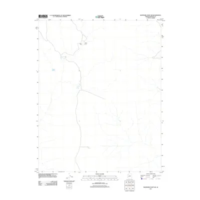
2011 Map of Whitmore Point SW
USGS Topo · Published 2011About this map
Waring Ranch occupies a high point in this 2011 survey of Mohave County, where the landscape is defined by its strategic water sources and depressions known as pockets. The distribution of features like Green Spring and Pine Valley suggests the careful management of water in this arid environment. Geographic landmarks such as Peters Pocket and the descriptively named Ambush Water Pocket highlight the traditional nomenclature of the region, where every spring and natural catch-basin was vital for local ranching and travel. Spencer Tank and Pen Pocket further document the infrastructure of this landscape, marking essential points for those traversing the high plateaus of northern Arizona in the early 21st century.
Find a feature on this map
7 named features on this map. Tap any name to fly to it.
Don’t see what you’re looking for? This feature index may not catch every label — zoom into the map to look around manually.
Map Details
Editions of this 2011 Whitmore Point SW Map
This is the sole edition of this map. No revisions or reprints were ever made.
Other maps of this area

1886 · Diamond Creek
USGS Topo · 1:250,000

1886 · Mt. Trumbull
USGS Topo · 1:250,000

1892 · Diamond Creek
USGS Topo · 1:250,000

1892 · Mt. Trumbull
USGS Topo · 1:250,000

1948 · Williams
USGS Topo · 1:250,000

1953 · Grand Canyon
USGS Topo · 1:250,000

1954 · Williams
USGS Topo · 1:250,000

1956 · Williams
USGS Topo · 1:250,000

1957 · Grand Canyon
USGS Topo · 1:250,000

1958 · Grand Canyon
USGS Topo · 1:250,000