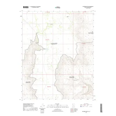
2018 Map of Whitmore Point SW
USGS Topo · Published 2018About this map
Green Spring and the hidden caches of Peters Pocket define the remote landscape of northwestern Arizona, where desert hydrology dictates the movement of people and wildlife. This area serves as a significant junction between the Lake Mead National Recreation Area and Grand Canyon National Park. The presence of small, named water sources such as Pen Pocket, Ambush Water Pocket, and Spencer Tank suggests a reliance on scattered catchments for survival and ranching in an arid environment. Deep drainages like Green Spring Canyon and Spring Canyon cut through the high elevations, while Pine Valley provides a rare open corridor through the plateau. These features illustrate the essential relationship between elevation and water access in the Mohave County backcountry.
Find a feature on this map
19 named features on this map. Tap any name to fly to it.
Don’t see what you’re looking for? This feature index may not catch every label — zoom into the map to look around manually.
Map Details
Editions of this 2018 Whitmore Point SW Map
This is the sole edition of this map. No revisions or reprints were ever made.
Other maps of this area

1886 · Diamond Creek
USGS Topo · 1:250,000

1886 · Mt. Trumbull
USGS Topo · 1:250,000

1892 · Diamond Creek
USGS Topo · 1:250,000

1892 · Mt. Trumbull
USGS Topo · 1:250,000

1948 · Williams
USGS Topo · 1:250,000

1953 · Grand Canyon
USGS Topo · 1:250,000

1954 · Williams
USGS Topo · 1:250,000

1956 · Williams
USGS Topo · 1:250,000

1957 · Grand Canyon
USGS Topo · 1:250,000

1958 · Grand Canyon
USGS Topo · 1:250,000