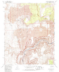
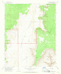
1967 Map of Whitmore Rapids
USGS Topo · Published 1986About this map
The Colorado River carves a deep path through the canyonlands of northwest Arizona in this 1960s topographic survey. The landscape is defined by the convergence of major federal jurisdictions, where the Grand Canyon National Park meets the Lake Mead National Recreation Area and the Hualapai Indian Reservation. The river itself features the turbulent Whitmore Rapids, a significant point of navigation and terrain change within the gorge.
Find a feature on this map
13 named features on this map. Tap any name to fly to it.
Don’t see what you’re looking for? This feature index may not catch every label — zoom into the map to look around manually.
Map Details
Editions of this 1967 Whitmore Rapids Map
2 editions found
Other maps of this area

1886 · Mt. Trumbull
USGS Topo · 1:250,000

1892 · Mt. Trumbull
USGS Topo · 1:250,000

1953 · Grand Canyon
USGS Topo · 1:250,000

1957 · Grand Canyon
USGS Topo · 1:250,000

1958 · Grand Canyon
USGS Topo · 1:250,000

1960 · Grand Canyon
USGS Topo · 1:250,000
1967 · Vulcans Throne
USGS Topo · 1:24,000
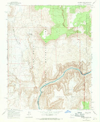
1967 · Whitmore Rapids
USGS Topo · 1:24,000
1967 · Vulcans Throne SE
USGS Topo · 1:24,000
1967 · Mt. Trumbull SE
USGS Topo · 1:24,000